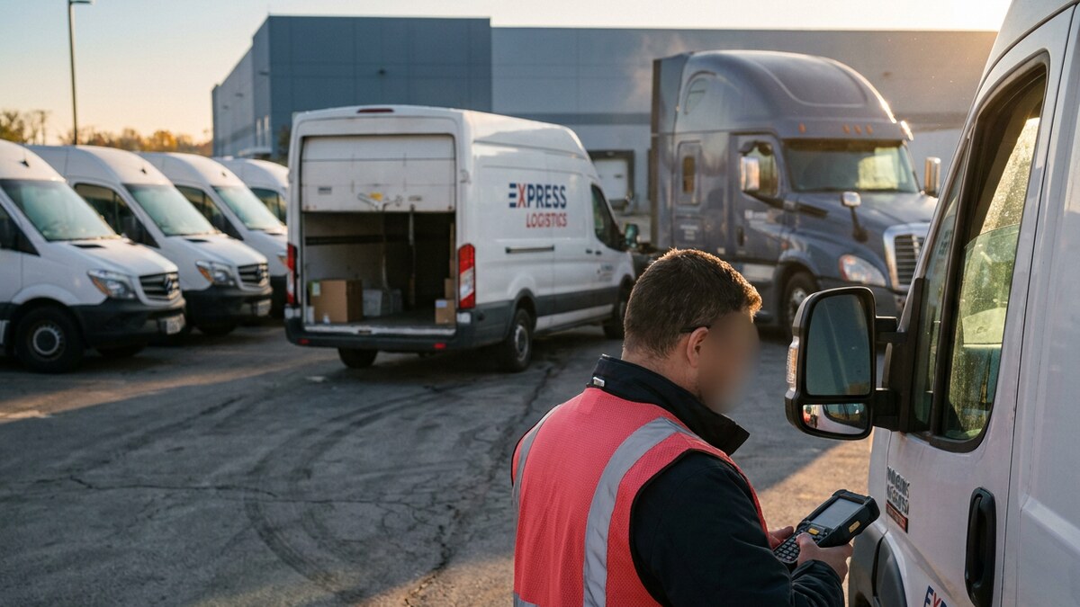

Cargo theft is now a budget line item. Verisk CargoNet reports that estimated losses surged 60 percent to nearly $725 million in 2025, with the average theft valued at $273,990. Equipment yards fare no better. Nearly 1,000 pieces of construction equipment are reported stolen every month to the National Crime Information Center.
Those numbers land on plant managers, fleet leads, and supply chain directors who already bought tracking hardware. The problem is rarely the tag. It is the mismatch between the tracking technology and the way the asset actually moves.
RFID, BLE, UWB, and GPS each solve a different slice of the problem. Pick wrong and you pay twice: once for readers or anchors you cannot reuse, and again for the shipment nobody can find.
| Technology / Provider | Read Range | Location Accuracy | Battery Life | Infrastructure Required | Where It Breaks |
|---|---|---|---|---|---|
| GPX | Global via cellular, satellite, and gateway relay | Room level indoors, GPS grade outdoors | 3 to 4 years on a replaceable coin cell (AssetTag), up to 10 years on one daily fix (AssetTrack) | None to install: 150M+ terrestrial gateways plus vehicle-mounted BLE hubs | No gateway, vehicle, or cellular coverage within range |
| Passive RFID | Portal range only, tens of feet | Checkpoint level | No battery | Fixed readers at every door and portal | Asset moves past a reader that is offline or absent |
| Ultra-Wideband (UWB) | Roughly 150 feet to an anchor | Centimeter class | Months to a few years | Dense grid of wired anchors per building | Line of sight to the anchor grid is blocked |
| Cellular GPS | Global | Within a few meters under open sky | Months to years | Cellular coverage only | Indoor dead zones, metal containers, drained batteries |
| Logistimatics | Global | GPS grade outdoors | Days to months | Cellular coverage only | Volume: built for single trackers, not thousands of assets |
GPX: BLE Tags Relayed Over Cellular and Satellite
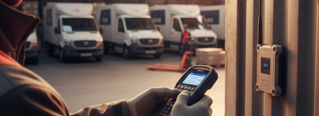
GPX runs a hybrid architecture. Low-cost Bluetooth Low Energy (BLE) tags ride on the asset. Cellular trackers, vehicle-mounted BLE hubs, and a field of more than 150 million terrestrial gateways carry that data back to the AI-powered asset tracking platform.
That removes the reader network from the budget. Tag a returnable container or a tool crib item and it reports indoors through nearby gateways, then keeps reporting over the road through cellular and satellite. Nothing gets wired at the dock door.
The hardware matches the asset. AssetTag runs 3 to 4 years on a replaceable coin cell. AssetTrack runs up to 10 years on one GPS fix per day. SmartLabel peels onto a one-way shipment, activates with a tab, and leaves nothing to recover at the destination. Scout AI sits on top and answers plain-English questions: which assets sat idle past 48 hours, which shipment will miss its window, which site fired an unauthorized-movement alert.
- Fits returnable containers, heavy equipment, tool cribs, trailers, and in-transit freight across 50+ industries.
- Indoor BLE and outdoor GPS live on one map, so assets stop disappearing at the loading dock.
- Recoveries typically complete in under 8 hours.
Passive RFID: Cheap Tags, Expensive Readers
Impinj and its peers own the passive Radio Frequency Identification category. Passive tags hold no power source. They wake only when a fixed reader energizes them, then broadcast an identification number and go quiet.
That physics makes the tags cheap enough to laminate into a shipping label and disposable enough to throw away. It also caps what they can tell you. A passive tag confirms that something crossed a specific line at a specific second. It never reports where that something sits right now.
- Strong fit for high-volume inventory counts, cycle counts, and single-building item flow.
- The tag cost is trivial; the reader network is the real capital expense, and it multiplies with every door.
- Zero visibility once the asset leaves the read zone, which rules it out for yards, jobsites, and freight.
Ultra-Wideband (UWB): Centimeter Accuracy in One Building
Zebra Technologies and other industrial hardware makers use UWB where spatial precision drives safety. UWB fires short pulses across a wide slice of spectrum and measures time of flight between the tag and a grid of wired anchors. The result is centimeter-class positioning that survives radio noise on a busy plant floor.
Robotics cells, automated guided vehicles, and precision assembly lines earn that accuracy back. Everyone else pays for resolution they will never use. Anchors have to be installed, powered, surveyed, and maintained in every space you want covered.
- Best fit for precision indoor manufacturing, AGV routing, and tool location in tight spaces.
- Highest install cost per square foot of any option here, and the grid does not travel with the asset.
- Active tags draw real power, which shortens tag life against BLE.
Cellular GPS: Global Coverage, Indoor Blind Spots
CalAmp and the traditional telematics vendors build cellular hardware that reads satellite timing signals and pushes position over 4G, 5G, or LTE-M. This is the backbone of over-the-road freight, trailer tracking, and heavy machinery monitoring, and it works anywhere the sky is open.
Agribusiness operators already run Trimble agriculture GPS to steer tractors through a field, and civil engineering crews send Trimble GPS survey equipment to site with the same expectation of a fix. Neither system watches the trailers, totes, and returnable containers that support the work. Those assets need their own trackers.
The two structural costs are power and connectivity. A tracker hunting for satellites inside a steel container burns battery on a signal that never arrives, and every device carries its own SIM and data plan.
- Best fit for over-the-road freight, powered trailers, and construction machinery in the open.
- Runs independently, with no local reader or anchor infrastructure to install.
- Fails indoors and under metal, and the recurring data cost scales in a straight line with asset count.
Where Enterprise IoT Asset Tracking Projects Break Down
The first failure is infrastructure lock-in. Fixed choke points tie your visibility to the buildings you wired. When a high-value load gets misrouted in a 40-acre yard or parked at a third-party facility, the reader network reports nothing useful, and someone spends a shift walking rows.
The second is the indoor-outdoor handoff. Satellite trackers die at the dock door. Indoor systems die at the property line. Operations teams end up running two platforms, two spreadsheets, and two versions of where the container is.
The third is data with no decision attached. A raw ping tells you a coordinate. It does not tell you that the asset has been idle for six days, that the shipment lost four hours at a cross-dock, or that a trailer left a site at 2 a.m. Teams drown in location records while the chargeback still lands.
The fourth is the integration gap. A tracking system that cannot push events into your ERP, Enterprise Asset Management (EAM), or WMS becomes one more tab somebody checks by hand. IoT location data earns its keep when a dwell alert opens a work order and a geofence arrival closes a shipment record without anyone retyping a number. Ask for the API and the named connectors during evaluation, not after the tags arrive.
The fifth is environmental durability. Hardware rated for a climate-controlled aisle fails on a trailer roof through a Midwest winter, on a wash-down line in a food plant, or bolted to an excavator. Outdoor and heavy-equipment deployments need IP67 or IP68 sealing and anti-tamper housings; GPX AssetTag and AssetTrack hardware carries an IP67 rating and BLE RoadWired is IP68. Match the ingress rating to the worst day the asset will see, not the average one.
The Future of RTLS: Agentic Asset Intelligence
Real-Time Location Systems (RTLS) grew up indoors, wired to readers and anchors inside a single building. The shift underway is from passive tracking to an autonomous control tower that spans the plant floor, the yard, and the highway. Location, temperature, dwell time, and route history feed models that predict the arrival window and flag the exception before a customer calls.
Modern logistics teams treat tracking as an intelligence layer, not a status page. That standard rewards architectures that already carry IoT sensor data end to end and write it into the ERP and EAM systems of record. It punishes single-network setups that only report inside one building.
How to Choose the Right Asset Tracking Technology
Start with two questions: what is the asset worth, and where does it spend its day? Disposable cartons moving through one warehouse door justify passive RFID and nothing more. Robots sharing a floor with people justify UWB and its anchor grid. Powered vehicles running interstate lanes justify a cellular GPS unit per asset.
Everything in between (containers, totes, tools, trailers, freight that goes indoors and then leaves) belongs on BLE tags with a relay layer. Tags stay cheap, connectivity lives on the vehicle or gateway, and coverage follows the asset from the plant floor to the highway. You get predictive ETAs, idle-asset alerts, and one map instead of three.
Tracking one vehicle or a handful of personal items is a different job. Consumer and small-business trackers from Logistimatics or Bouncie handle that at a lower price point. Once you cross 10 high-value assets, the math swings to enterprise multi-network tracking.
Ready to stop guessing where your assets sit? Talk to our team and we will map the right mix of BLE tags, cellular trackers, and SmartLabel shipments to how your operation actually runs.
Frequently Asked Questions (FAQs)
How does AI asset tracking differ from traditional GPS tracking?
Traditional GPS plots a dot on a map and leaves the interpretation to you. AI asset tracking fuses BLE, GPS, cellular, and sensor data, then surfaces what matters: idle equipment, a shipment running behind, a container that left a site after hours. Scout AI takes plain-English questions and returns the answer without a report builder.
What is the difference between UWB and BLE for indoor tracking?
UWB measures time of flight against wired anchors and delivers centimeter-class accuracy, which robotics and precision assembly require. BLE delivers room-level accuracy using gateways that cost far less and travel with a forklift or a vehicle. For most operations, room level answers the real question of where the container is, and BLE gets you there without wiring the building.
Can passive RFID tags provide real-time supply chain visibility outside a warehouse?
No. Passive tags carry no battery and transmit only when a powered reader energizes them, so they report checkpoints rather than live position. Once the asset clears the portal it is invisible until it passes another reader. That suits fixed-checkpoint inventory counts and fails on yards, jobsites, and freight lanes, where real-time supply chain visibility depends on a tag that reports on its own power or through a mobile gateway.
What drives the true cost of cellular GPS tracking per asset?
Every cellular device carries its own SIM and data plan, so the recurring bill rises in a straight line with your asset count. Hardware and battery size add to it, because a tracker reporting frequently needs power to do it. Hybrid BLE-plus-relay designs cut that cost by putting cellular on the vehicle or gateway instead of on every tag.