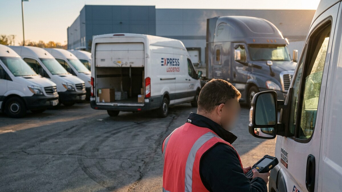
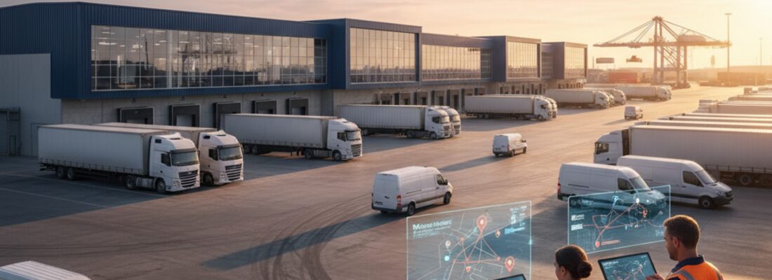

Nearshoring has moved manufacturing and distribution closer to home, and the trade corridors linking the United States, Canada, and Mexico now carry record freight volumes. As production shifts south to Monterrey, Saltillo, and Tijuana, and as Canadian lanes feed automotive and energy supply chains, shippers need to see exactly where their assets are at every stage of the journey. Visibility stops at the border for many operations, and that blind spot costs money, time, and customer trust.
This guide ranks the top 7 nearshore tracking solutions for cross-border supply chains and shows how each one performs across long-haul lanes, yards, distribution centers, and in-transit checkpoints. You will learn which technology fits which use case, what to look for in a USMCA-ready tracking platform, and how to build end-to-end visibility from a Canadian plant to a Mexican maquiladora and every warehouse in between.
USMCA Cross-Border Supply Chain Optimization: How 2026 Nearshoring Trends Dictate Real-Time Freight Visibility
Nearshoring rewards companies that can run tight, predictable supply chains across three countries. Mexico has surpassed China as the top trade partner of the United States, with exports to the US reaching a record $475 billion in 2023 according to Boston Consulting Group. Manufacturing foreign direct investment in Mexico has grown by roughly 20% per year since 2019, and the automotive sector alone accounts for about 40% of that investment. Production now clusters in hubs like Monterrey and the rest of Nuevo Leon, Tijuana and Baja California, San Luis Potosi, Ciudad Juarez and Chihuahua, Saltillo and Coahuila, and Silao in Guanajuato.
The freight flows are just as concentrated. More than 5 million trucks crossed the Laredo gateway in a single recent year, making it the top inland port on the southern border, with El Paso and Otay Mesa close behind. Goods move from Mexico to the US in 24 hours or less by truck, compared to the two to six weeks a trans-Pacific ocean route demands. Canada anchors the northern corridor, where a $14 billion Volkswagen EV battery plant in St. Thomas, Ontario shows the scale of investment feeding automotive, energy, and critical-mineral supply chains through Windsor, Buffalo, and Blaine.
That growth raises the stakes for tracking. A shipment that crosses two international borders passes through multiple carriers, customs brokers, drayage operators, and cellular networks. Each handoff is a moment where an asset can stall, get misrouted, or disappear. With northern Mexico industrial-park vacancy sitting between 1% and 3%, yards and staging areas are crowded, which makes finding a specific trailer harder without device-level location data. Companies that win at nearshoring treat real-time location data as core infrastructure, not an add-on.
Three forces drive the demand for stronger nearshore tracking:
- Longer multi-modal journeys. Goods move by truck, rail, and ocean across thousands of miles, and visibility gaps grow with every mode change.
- Cargo theft on key Mexico lanes. High-value freight on certain corridors faces elevated theft risk, and location alerts shorten response time when a trailer leaves its planned route.
- Customs and compliance pressure. USMCA documentation, dwell-time reporting, and chain-of-custody requirements all benefit from accurate timestamped location records.
The Future of End-to-End Multimodal Tracking: USMCA Logistics and NextGen Cross-Border Freight Visibility
Nearshore tracking is the practice of monitoring assets, vehicles, trailers, and cargo across the United States, Canada, and Mexico using devices and software that work reliably on both sides of every border. The goal is one continuous data stream from origin to destination, with no dead zones when a truck crosses from Texas into Tamaulipas or from Ontario into Michigan.
The trade framework behind these flows is the USMCA, which Canada refers to as CUSMA. It governs preferential tariff treatment, regional content rules, and the documentation that moves with every load. Many goods originate inside Mexico’s IMMEX program for manufacturing and maquiladora operations, then travel the full Mexico to US to Canada route as part of a broader friendshoring strategy. A load that touches all three countries needs tracking that never drops the signal, because each leg adds another carrier, another customs checkpoint, and another chance to lose sight of the freight.
True nearshore visibility combines several capabilities into a single view:
- Multi-network connectivity so a tracker stays online across US, Canadian, and Mexican carrier networks without manual SIM swaps.
- Real-time GPS location with frequent reporting on long-haul lanes and during high-risk segments.
- Geofencing and route alerts that flag unplanned stops, border dwell, and route deviations the moment they happen.
- Asset-level tracking for trailers, containers, returnable packaging, and high-value tools inside yards and facilities.
- A unified dashboard that shows fleet vehicles and tagged assets together, regardless of which country they sit in.
Shippers that bundle these capabilities cut detention charges, recover stolen and misplaced assets faster, and give customers accurate delivery windows across the entire corridor.
Top 7 AI-Powered Nearshore Tracking Solutions and B2B GPS Hardware for Supply Chain Optimization
The right solution depends on what you move, how far it travels, and where it spends its idle time. Below are the seven tracking approaches that deliver the strongest cross-border results, ranked by their impact on end-to-end nearshore visibility.
1. Real-time cellular GPS trackers for long-haul freight. These devices report location continuously over cellular networks and form the backbone of cross-border visibility. The best units carry multi-network SIMs that connect to US, Canadian, and Mexican carriers automatically, so a load stays visible from a Saltillo plant to a Toronto distribution center. Use them for trailers, high-value loads, and any shipment that crosses two borders.
2. BLE asset tags for yards, warehouses, and distribution centers. Bluetooth Low Energy tags pinpoint assets inside facilities and yards where GPS struggles. The GPX AssetTag uses BLE to locate trailers, containers, and equipment across staging areas, and it carries a 4-year battery life with a replaceable battery, so teams scale to thousands of tags without constant maintenance. Pair these tags with gateway readers at gates and dock doors for automatic check-in and check-out.
3. Hybrid GPS plus BLE solutions for full lifecycle tracking. The most complete nearshore strategy combines cellular GPS for the road with BLE tags for the yard. An asset reports its over-the-road position through a GPS tracker, then hands off to BLE positioning the moment it enters a tagged facility. This hybrid model removes the visibility gap between in-transit and at-rest, which is where most assets go missing.
4. Trailer and container trackers with long battery life. Trailers and intermodal containers sit unpowered for long stretches, so trackers built for them prioritize battery endurance and rugged housings. Solar-assisted and high-capacity battery units report location daily or on motion, which keeps fleets of dropped trailers visible across border yards and rail ramps without frequent recharging.
5. Geofence-driven monitoring for cargo theft prevention. Geofencing turns location data into security. Draw virtual boundaries around approved routes, rest stops, and facilities, and the system alerts your team the instant a trailer leaves a safe zone or stops in an unplanned area. On higher-risk Mexico corridors, this early warning is the difference between recovering a load and writing it off.
6. Multi-modal in-transit visibility platforms. Software that ingests data from trackers, carriers, and telematics creates a single timeline for each shipment as it moves by truck, rail, and ocean. These platforms layer estimated arrival times, dwell analytics, and exception alerts on top of raw GPS data, which gives planners the context to reroute proactively when a border backs up.
7. RFID and passive tagging for high-volume inventory flow. For fast-moving inventory and returnable assets cycling through cross-dock and maquiladora operations, passive RFID delivers low-cost, high-throughput identification at chokepoints. RFID complements GPS and BLE by tracking large volumes of items as they pass fixed read points, which speeds receiving and reduces manual counts.
| Tracking Solution | Best For | Coverage | Power and Battery | Cross-Border Fit |
|---|---|---|---|---|
| Real-time cellular GPS tracker | Long-haul trailers and high-value loads | Continuous over-the-road | Rechargeable or hardwired | Excellent with multi-network SIM |
| GPX AssetTag (BLE) | Yards, warehouses, distribution centers | Facility and yard zones | 4-year battery life, replaceable | Strong for at-rest assets at any site |
| Hybrid GPS plus BLE | Full lifecycle, road to yard | Road and facility combined | Mixed by device type | Best for end-to-end visibility |
| Trailer and container tracker | Dropped trailers and intermodal containers | Wide-area, motion or daily reporting | Solar-assisted or high-capacity battery | Strong for unpowered cross-border assets |
| Geofence-driven monitoring | Cargo theft prevention and route control | Route and zone based | Software layer on GPS hardware | Critical for high-risk Mexico lanes |
| Multi-modal visibility platform | Truck, rail, and ocean shipments | End-to-end, multi-source | Software, no battery | Strong for complex corridor routing |
| RFID and passive tagging | High-volume inventory and returnables | Fixed read points | Passive, no battery on tags | Strong at cross-dock and maquiladora gates |
Overcoming 2026 Logistics Bottlenecks: Cargo Theft Prevention, Customs Dwell Times, and Border Blind Spots
Nearshore freight runs into obstacles that domestic-only shipments never see. Understanding these obstacles helps you choose tracking technology that holds up under real conditions.
- Network handoffs at the border. A tracker tied to a single US carrier goes dark the moment it enters Mexico or Canada. Multi-IMSI SIMs that carry several carrier identities solve this by switching networks automatically, and that capability is the first thing to confirm before you buy.
- Strategic cargo theft and freight fraud. Cargo theft on Latin American and Mexican lanes has moved well beyond physical hijacking. Organized syndicates now run fraud-driven theft using digital document manipulation, fake checkpoints, and carrier identity fraud to redirect loads and make them vanish. High-frequency continuous GPS pinging defeats this “ghosting” tactic, because a load that reports its position every few seconds cannot quietly disappear, and a route deviation triggers an alert the instant it happens.
- Customs dwell and country-of-origin proof. Trucks queue for hours at busy crossings, and the documents that move with each load, including the Certificate of Origin, Canada Customs Invoice, and Bill of Lading, must match the freight at every checkpoint. Geofences around border zones turn dwell into a measurable, reportable event, and immutable, timestamped border-crossing data gives you an audit trail that proves country-of-origin and transit times when customs asks.
- 2026 trade-policy and tariff pressure. The USMCA and CUSMA framework faces a scheduled joint review in 2026, and tariff debates keep shifting the rules for cross-border content. Treat your GPS data as more than location. An auditable, timestamped ledger of every crossing protects your compliance position and supports cross-border trade audits regardless of how the policy landscape moves.
- Port congestion, yard gridlock, and driver shortages. As manufacturing clusters boom in Monterrey and Tijuana, the surrounding infrastructure strains under the volume. Geofencing and Predictive ETA routing act as the antidote, flagging congestion early and rerouting drivers around backups before a load sits idle in a gridlocked yard.
- Visibility gaps between transit and storage. GPS works on the road but weakens inside dense yards and warehouses. Bluetooth Low Energy (BLE) asset tags fill that gap so a trailer never vanishes the moment it parks.
- Fragmented data across carriers and partners. Each drayage operator and broker runs its own system. A unified platform consolidates these feeds into one timeline, which removes the manual phone calls and spreadsheet chasing.
- Battery and maintenance overhead at scale. Tracking thousands of assets fails fast if devices need constant recharging. Long-life and replaceable battery designs keep large fleets visible without draining labor hours.
Essential Tech Specs for USMCA-Ready GPS Fleet Management and IoT Asset Tracking Platforms
When you compare nearshore tracking vendors, weigh these capabilities against your specific corridors and assets:
- Multi-carrier, tri-country connectivity. Confirm the device uses Multi-IMSI SIMs that stay online across US, Canadian, and Mexican networks on a single piece of hardware.
- Configurable reporting frequency. Tighten intervals on high-risk segments and stretch them on low-risk legs to balance visibility and battery use.
- Geofencing and exception alerts. Set boundaries around routes, facilities, and border zones, with instant notifications for deviations and unplanned stops.
- Predictive ETA and analytics. The strongest platforms feed continuous GPS data into AI models that predict border delays and arrival windows before they happen, which turns raw location into proactive routing decisions.
- Long and replaceable battery options. Match battery design to asset type, from rechargeable road units to Bluetooth Low Energy (BLE) tags with multi-year life.
- Open integration and APIs. The platform should feed your TMS, ERP, and customer portals so location data drives decisions automatically.
- Durable, weather-resistant hardware. Devices ride exposed on trailers and containers through heat, cold, and vibration, so build quality matters.
- One dashboard for vehicles and assets. A single pane of glass that shows fleet and tagged assets together removes the silos that hide problems.
How GPX B2B GPS Hardware Delivers Predictive Analytics and Multi-Network Logistics Visibility
GPX builds tracking hardware and software for exactly this kind of cross-border operation. GPS trackers keep long-haul loads visible across US, Canadian, and Mexican networks, while the GPX AssetTag uses Bluetooth Low Energy (BLE) to locate trailers, containers, and equipment inside yards and distribution centers. The AssetTag carries a 4-year battery life with a replaceable battery, so large deployments stay live without heavy maintenance cycles.
The real advantage shows up when both layers work together. A load reports its road position through a GPS tracker, then the GPX AssetTag takes over the moment it enters a tagged facility, and the GPX platform stitches both signals into one continuous record. That same stream feeds predictive analytics, so the platform forecasts border delays and arrival windows instead of only reporting where an asset sits right now. Geofences flag border dwell and route deviations in real time, and the unified dashboard shows every vehicle and tagged asset across all three countries in a single view. That combination closes the gaps that cost nearshore shippers the most: lost assets, unexplained delays, and stolen freight.
ROI-Driven Logistics: Selecting the Best End-to-End Cross-Border Tracking Hardware
The right choice starts with your assets and your corridors, not with a feature list. Map where your freight spends its time. If most value sits on the road across borders, lead with real-time cellular GPS trackers and strong geofencing. If assets cluster in yards and distribution centers, build on Bluetooth Low Energy (BLE) tags like the GPX AssetTag. Most nearshore operations need both, which is why a hybrid BLE and GPS architecture delivers the cleanest end-to-end visibility. Confirm Multi-IMSI SIM connectivity, match battery design to each asset type, and insist on one dashboard, predictive analytics, and open integrations so the data flows into the systems your team already uses.
Stop losing high-value freight at the Laredo checkpoint. Equip your fleet with GPX hybrid BLE and GPS architecture today to secure your USMCA and CUSMA trade routes, prove country-of-origin at every crossing, and see every asset from origin to destination. Contact GPX to build a nearshore tracking plan for your Canada and Mexico lanes.
Frequently Asked Questions (FAQs)
How do I track freight crossing the US-Mexico border without losing signal?
Use a tracker with Multi-IMSI SIMs that carry several carrier identities and hand off cellular data between US, Mexican, and Canadian telecom providers automatically. There is no manual SIM swap and no dead zone at the crossing, so the device keeps reporting from the origin plant all the way to the destination, and every position lands in one platform that shows the full journey.
What is the best way to prevent cargo theft in Mexico in 2026?
Physical security alone is failing against organized syndicates that use fraud, fake checkpoints, and identity theft to redirect loads. The strongest prevention is IoT geofencing, route-deviation alerts, and high-frequency GPS pinging. The moment a truck goes off-route or stops in an unapproved area, the system fires an instant alert that lets your team and local law enforcement intervene before the load disappears.
Does GPX tracking help with USMCA and CUSMA customs compliance?
Yes. Timestamped, geofenced border-crossing data acts as a digital ledger that verifies chain-of-custody and proves country-of-origin and transit times. That auditable record helps you avoid costly dwell-time penalties and supports cross-border trade audits under the USMCA, which Canada calls CUSMA.
What is the difference between BLE asset tags and cellular GPS trackers for cross-border use?
Cellular GPS trackers report real-time location over wide areas and suit long-haul freight on the road. Bluetooth Low Energy (BLE) asset tags like the GPX AssetTag pinpoint assets inside yards, warehouses, and distribution centers where GPS weakens. Many nearshore operations run both, with GPS covering transit and BLE covering at-rest assets, for full lifecycle visibility.